Rua 31 de Janeiro
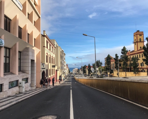
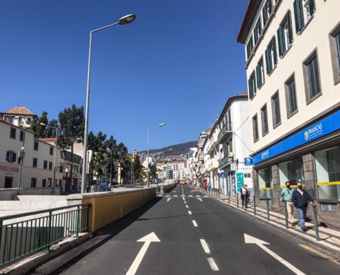
Rua 31 de Janeiro is 1972 metres long and runs parallel to the Ribeira de Santa Luzia and its neighbour Rua 5 de Outubro, which is on the other side of the Ribeira. It currently extends from Avenida do Mar to the junction with Rua de D. João.
Until the collapse of the monarchy in Portugal, it was called Rua da Princesa (Princess Street) and often called Rua das Árvores (Street of Trees), due to the abundance of trees that existed in this area. It owes its toponymy to the date, and more specifically to the day and month, of the first Republican Revolt and attempt to Implant the Republic in our country, which happened in Porto, on January 31, 1891.
At the beginning of its extension, by the Praça da Autonomia, we can find traces of the São Filipe Fort also known as Forte Novo (New Fort), built by determination of the Governor and Captain-General of Madeira and Porto Santo, Duarte Sodré Pereira, and completed in 1707. Later, in 1897, it lost its military function and was demolished.
Today, only a few ruins of this Fort are visible, a structure erected in 1581, whose ruins were found during excavations that took place in 2013 (after the flood of 20 February 2010), in the Pelourinho square.
Along this path, which only extends along a pedestrian axis, you can find various commercial shops, some Public Services such as the Tax Authority, on the corner with Largo do Phelps, or the Lawyers’ Association, a little higher up.
Of notable reference are the HM Borges Wine Cellars, founded in 1877 by Henrique Menezes Borges and where you can taste and purchase various Madeira wine varieties of this renowned brand.
Continuing uphill, you will find the pleasant 13600m2 Jardim de Santa Luzia, built on the lands of the old Winton Sugar Mill, where vestiges of the influence of the sugar industry in Madeira remain.


